The stunning views at every turn along the undulating road from Islamabad to Naran set the scene for a climate change journey through the communities of Northern Pakistan.
***
It was early August when my husband, children and I — along with several members of my extended family — decided to embark on a vacation to the northern areas of Pakistan. The group of nine adults and six children set out by car on a trip from Islamabad through Naran and into the Himalayan communities on the frontlines of climate change.
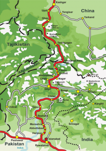
I decided to combine vacation with work and use this trip to see for myself the interaction of rivers and glaciers in northern Pakistan and observe the impacts of climate change on the local environment. It had been two years since I had returned to Pakistan to work as a consultant for the Green Climate Fund (GCF), a $100 billion annual fund designed to help vulnerable countries establish and implement climate change mitigation and adaptation projects. I hoped this family holiday could give me the first-hand experiences needed to communicate more effectively in my reports to international environmental agencies interested in conducting sustainability interventions in the region.
In recent years, communities in Northern Pakistan have seen an increase in natural calamities like floods and landslides as the warming temperatures from climate change alter river flows and threaten the security of downstream communities reliant on glacial melt and a steady water supply (LEAD Pakistan, 2017).
Popularly known as “the third pole”, the Himalayan mountain ranges contain the largest mass of snow and ice outside the Arctic and Antarctic polar regions. In summer, glacial melt tops up the Indus River and its tributaries that in turn irrigate the rest of the country. The reservoirs of ice are replenished by snowfall in winter.
But climate change could put a permanent spoke in this natural cycle by altering patterns of precipitation, accelerating glacier melt, and changing the monsoon season. With agriculture a mainstay of Pakistan’s economy, and hydropower a significant component of the energy mix, the livelihood of the more than 200 million people living downstream in river basins fed by glacial melt is now at risk.
***
Naran to Gilgit
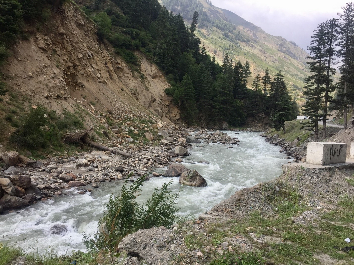
We began our journey in Naran, a medium-sized town that comes alive in summer when tourists from all over Pakistan head to the mountains to cool off. The rushing rapids of the Kunhar River, swollen by glacial melt, are home to the famous black trout, a local delicacy. The bustling bazaar, selling everything from handicrafts, dry fruit, and locally harvested honey, to sunglasses and umbrellas imported from China, is a major attraction for tourists.
The people of Naran are mostly Gujjars (nomads), who descend from the mountains each summer to the Kaghan Valley to graze their sheep and cattle. Some participate in the thriving tourist economy from late spring through fall, but when the snowfall begins, they retreat to nearby towns like Abbotabad and Mansehra. In winter, landslides and heavy snowfall can disrupt transport routes for days at a time and bring the tourism industry to a virtual halt.
When we arrived at our hotel, it was raining. At breakfast the following morning, we overheard that landslides triggered by the heavy rains had blocked the nearby Babusar Pass at several locations. Babusar Pass connects the province of Khyber-Pukhtunkhwa with the province of Gilgit-Baltistan, a diverse region populated by various ethnic, linguistic, and religious sects — and the next stop on our journey.
The constantly shifting landscape along the Himalayan fault lines has historically been a major cause of floods and landslides in the mountains of Northern Pakistan. But according to Kevin Hewitt, Professor Emeritus in Geography and Environmental Studies at Wilfrid Laurier University, retreating glaciers and warming permafrost from rising climatic temperatures are increasingly to blame (Hewitt, 2010). Under these conditions, slope destabilization can occur, magnifying the intensity and frequency of slope failures due to earthquakes or storms and triggering destructive landslide events.
In 2010, a massive landslide blocked the Hunza River creating a large lake that submerged parts of several villages and a section of the Karakoram Highway, the principal road that connects Hunza to the rest of the country. The possibility that the natural dam could breach, either as a result of an earthquake or heavy monsoon rains, has put downstream towns and villages at an elevated risk for floods.
Despite the warnings, we decided to try our luck in hopes that the route would be cleared by the time we arrived. After a quick snack of egg pakoras and steaming hot cups of salty chai, we entered the pass.
By the time we arrived heavy machinery had already been deployed to clear the huge rocks washed in from the morning landslides, but the Pass remained muddy from the rains leaving several cars stuck in their tracks. Men pushed and pulled the cars through the wet rubble while the women and children continued ahead on foot.
After a five-hour delay, we finally managed to cross Babusar Pass and resumed our journey north to Gilgit on the Karakoram Highway (KKH).
***
Gilgit to Hunza
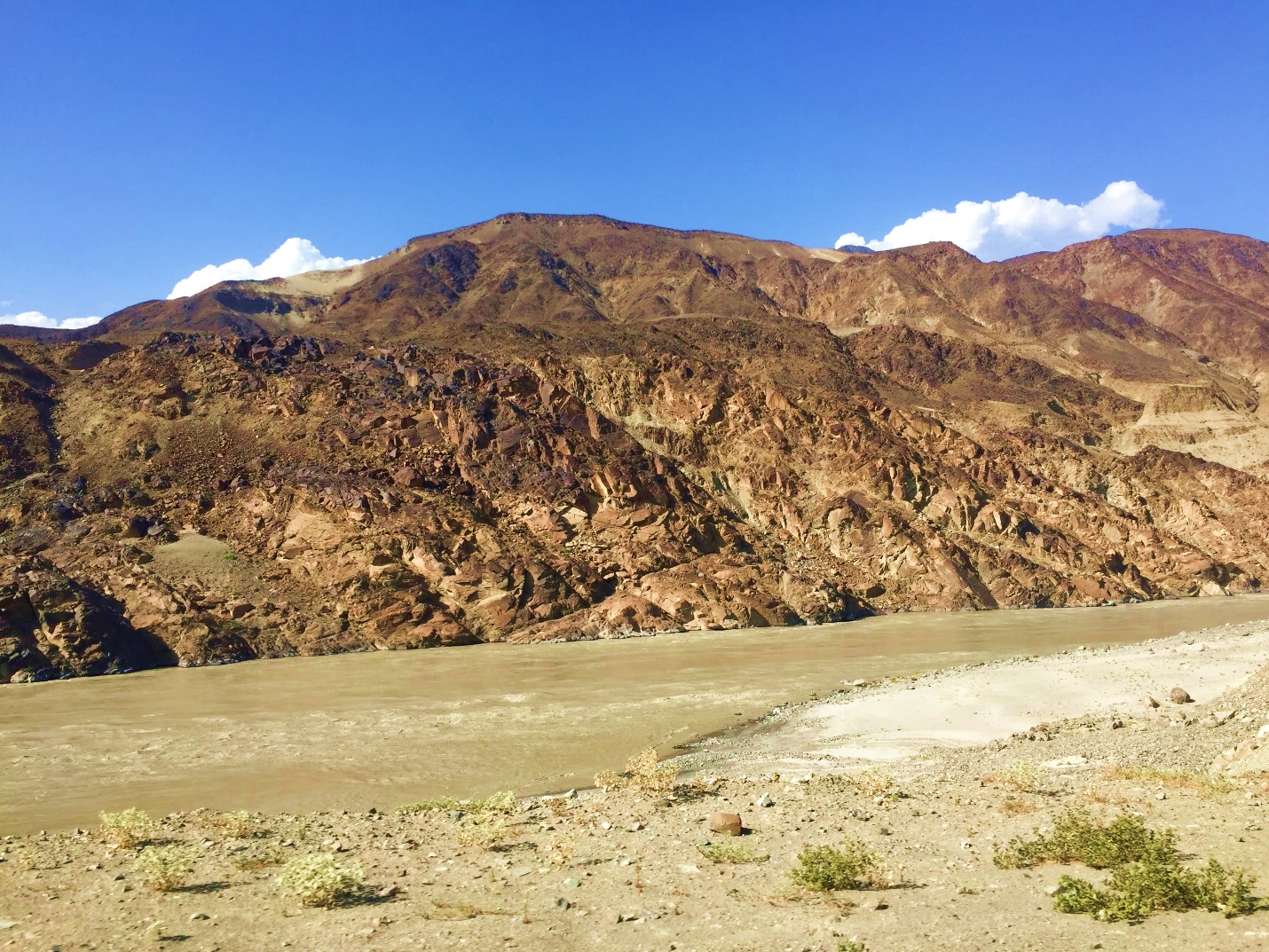
After 13 long hours we finally made it to Gilgit, the capital of Gilgit-Baltistan. In recent years, Gilgit has become a bustling hub for tourists looking to embark on mountaineering expeditions in the vast surrounding peaks the dot the region.
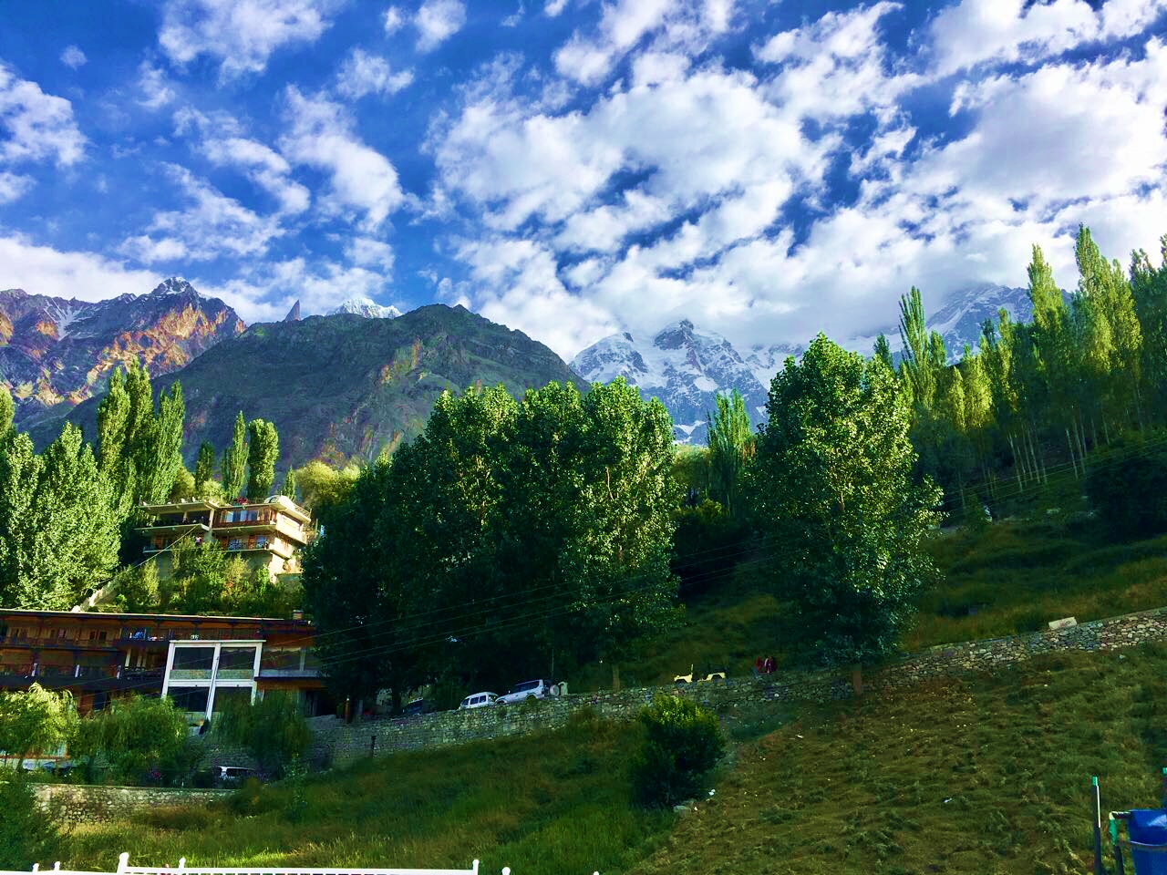
We spent the night at the picturesque Serena Hotel and I awoke early to watch the sun rise over Mount Rakaposhi (7,788 meters). The hotel maintains in-house fruit orchards and the strawberries I picked there were sweetest I have ever tasted. After breakfast at the hotel, we left for Hunza Valley, a two-hour drive from Gilgit.
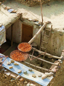
Pilgrims, explorers, traders and soldiers have been traversing the route from Gilgit to Hunza for thousands of years. Nestled among some of the highest mountains in the world, the lush and welcoming Hunza Valley is truly spectacular. In mid-summer, the apricot trees are laden with ripe, orange fruit that locals set out to dry on their rooftops to eat for sustenance during the cold winter months.
Driving through Ganish Village and Aliabad, we finally arrived in Karimabad, the capital of Hunza. We checked into our hotel and then headed to the Café de Hunza for walnut cake and the famous Hunza tea made with wild thyme.
***
Hunza to Nagar
The following day, we took an idyllic drive through the Nagar Valley, travelling past mountains glistening with gemstones. The Hunza region is famous for these gemstones which include tourmaline, jade, aquamarine, and amethyst.
Sheep and cattle grazed in fields surrounded by majestic mountains that provide natural protection from the elements. The houses were made of stone and mortar. Heavy melons hung from vines creeping over the low boundary walls. Walnut, pomegranate, apple, and mulberry trees grew in abundance, while the sound of waterfalls made a pleasant background melody, completing the fairytale portrait.
One of the farmers in town, Nadir Shah, offered to show us around the orchards and it was then when I noticed that a series of glacier-fed streams irrigated the entire valley. In recent years, erratic weather had disrupted the steady glacial flow that feeds the valley and wreaked havoc on fruit production in the region. Shah said heavy snowfall in spring of the previous year had disturbed the flowering trees, resulting in huge losses for local farmers whose income depends on the sale of fruit to population centers in the south.
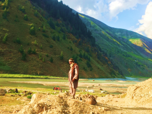
Rahatullah Baig, another native of Nagar Valley, remarked that winters are warmer and shorter than they used to be. “In the past, freezing temperatures were the norm around October,” he said. “Now, the weather stays warm through November.”
Baig mentioned that he would take his cattle and goats to the upper valleys to graze during the summer and move south in the winter to escape the heavy snowfall. For the last decade, however, he didn’t have to move the animals because of the warmer winter season.
Locals aren’t all in agreement regarding the higher temperatures in the region. Many say the weather has improved their quality of life and even increased agricultural output thanks to a longer growing season. But scientists warn that the benefits of climate change are temporary (ICIMOD, 2017).
Ghani Akbar, a researcher at the Pakistan Agriculture Research Council, predicts that as temperatures rise, melting glaciers will increase the risk of flash floods and landslides. In the long term, less snowfall could lead to the drying up of springs and water sources and adversely impact farmers who rely on glacier melt water and springs to irrigate their crops.
***
Attabad Lake
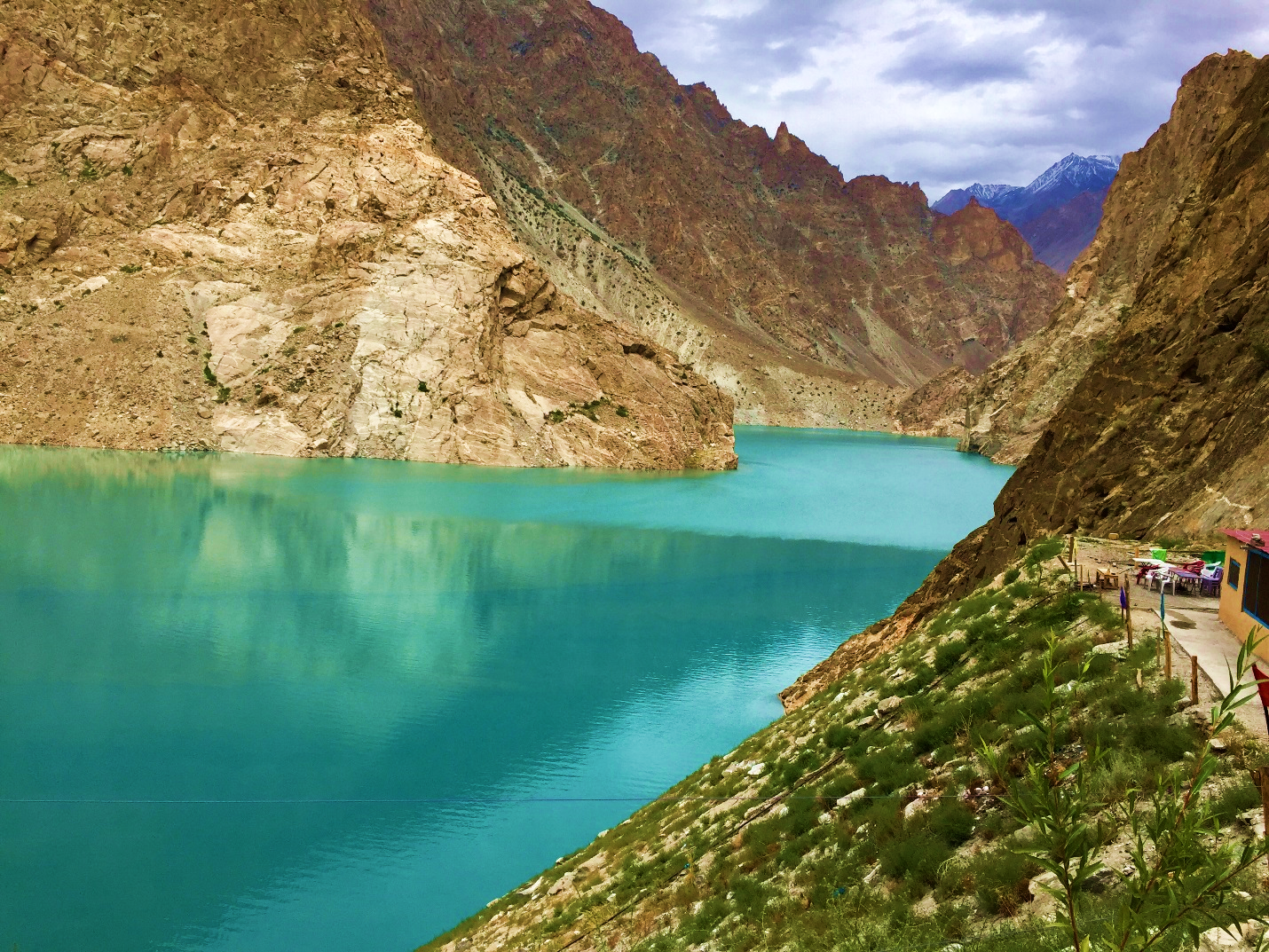
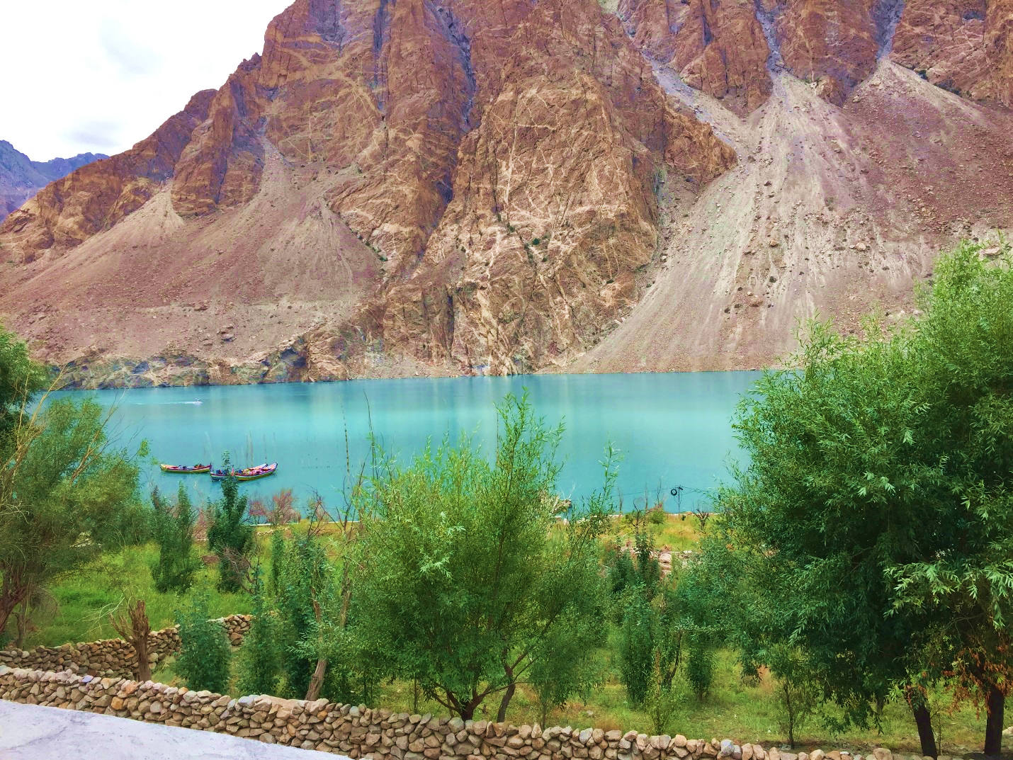
As we continued on our journey we passed Attabad Lake, the water body formed by the 2010 landslide which blocked the Hunza River. The new lake flooded more than 150 houses in the villages of Ayeenabad, Gulmit, and Shishkat, displaced 6,000 people from upstream villages, and stranded another 25,000 residents downstream.
Although Lake Attabad was initially around 100 meters deep, silt from glacial runoff has been gradually filling it in. Rehmatullah, one of the boatmen who takes tourists for rides on the lake commented, “Boats were increasingly running aground near the shoreline this summer. In another decade, it may just be a riverbed again.”
***
The Final Leg: Khunjerab Pass
Our final stop on the journey was to Khunjerab National Park, the third largest national park in Pakistan and a protected area designated for wildlife conservation.
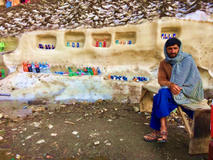
But when we finally reached the top, I experienced the devastating anti-climax to our climb. Instead of the spectacular views of snow-laden peaks that reach towards the clouds, we saw something different. A food stall was selling hot biryani, tea, and snacks to tourists who carelessly tossed their empty plastic containers into the nearby icy streams. A signboard of the National Bank of Pakistan outside a grey concrete structure proudly proclaimed, “World’s highest ATM machine.”
We exchanged waves and smiles with Chinese tourists on the other side of the border and then decided to head back as the temperature dropped suddenly and snow flurries began.
***
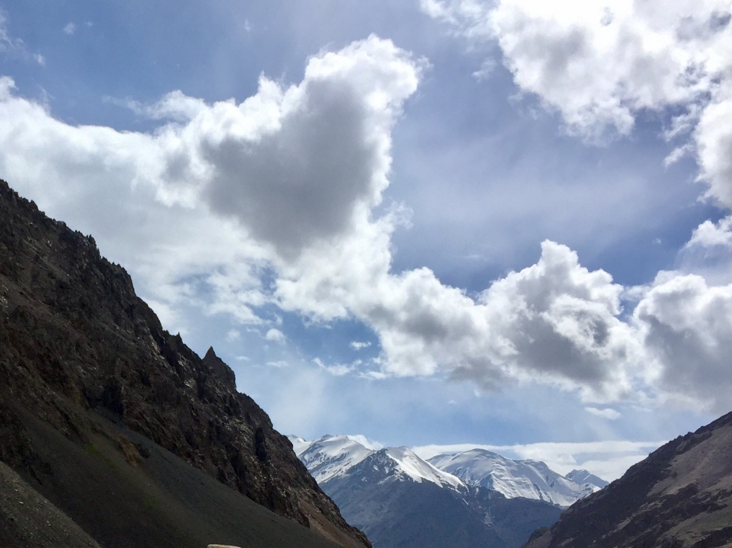
As we drove back I reflected on our incredible journey and wished we could do more to preserve and protect Pakistan’s precious natural heritage for the sake of future generations. The aesthetic and cultural value of the mountainous north is priceless, but in the past century, temperatures in northern Pakistan have increased by almost 2 degrees Celsius threatening the ecology and livelihood of this incredible region.
While tourism can provide a definite boost to the economy, unchecked development can be self-defeating in the long term as pristine areas are subjected to environmental degradation resulting in a loss of natural beauty that initially attracted visitors.
The climate change clock is already ticking. While it may already be too late to arrest current climate trends, urgently implemented adaptation measures could provide immediate relief to affected communities in Pakistan’s northern areas and buy them some time to plan for the future.
***
References
ICIMOD, The Himalayan Climate Change and Water Atlas, http://www.icimod.org/?q=20533
LEAD Pakistan, Report of the Secretary General’s High-level Advisory Group on Climate Change Financing, Accessed, November 15, 2017 http://www.lead.org.pk/cc/basicguide_climate_change.html
Hewitt, Kevin. Understanding Glacier Changes, The Third Pole. February 1, 2010, Accessed November 15, 2017 https://www.thethirdpole.net/2010/02/01/understanding-glacier-changes-3/